From Crossroads to Town Centre: How Routes Shape Settlement
See how routes shape settlement by tracing a crossroads, finding what draws people to stop, and spotting why some junctions never become town centres.
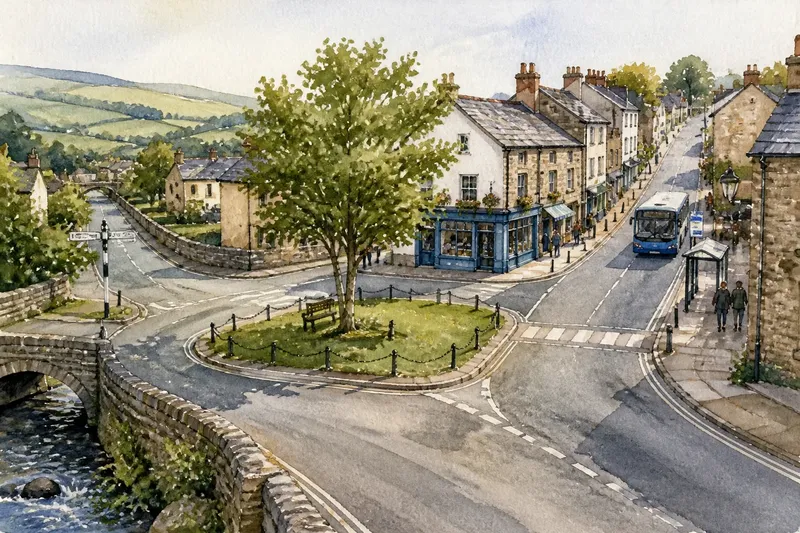
Why does one crossroads become a town centre while another stays a place to pass through? To see how routes shape settlement, follow the roads on foot and note where people can reach useful destinations, cross safely and pause. A junction brings movement together; what surrounds it determines whether people have a reason to stop.
Read the junction in its landscape
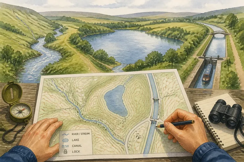
Choose a compact settlement and mark its main junction on a paper map. Follow each road far enough to see what it connects: nearby villages, a market area, a bridge, a station, a workplace or open countryside. The places and activities along a route matter more than its direction on the map.
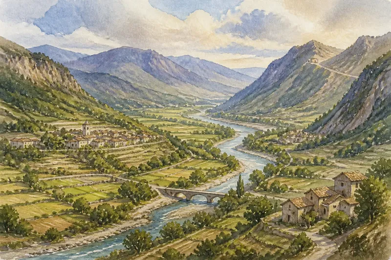
Notice the ground. Roads may meet where a ridge can be crossed, a valley narrows or a stream can be bridged. Such locations can make travel convenient, yet steep slopes, flood-prone ground or a narrow passage may leave little room for buildings to gather around the junction.
Record what you can see rather than assuming every road serves the same purpose. A broad through-road may carry traffic past the centre, while a smaller street serves shops and homes. A footpath can also be important if it connects residents with a school, station or shared green.
Trace routes, destinations and activity
Walk the same area at different points in an ordinary week if you can. Note where activity gathers and whether the pattern changes by time or day. There is no need to count people: the aim is to distinguish places where people stop from routes they mainly use to travel onwards. Keep to public paths and choose safe, unobtrusive places to observe.
- Check the junctions and crossings. If roads, footpaths and crossings connect directly, note that access is straightforward; if a barrier or awkward crossing intervenes, trace the safer alternative.
- Check what each route reaches. If it leads to homes, shops, services or transport, mark those destinations; if it leads mainly out of the settlement, treat it as a through-route unless other evidence shows local use.
- Check for shared destinations. If a school, civic building, place of worship or public space draws people from several directions, note it as a possible focus; if none is visible, look for smaller clusters of services.
- Check where people pause. If activity gathers at a stop, shopfront or green, record that location as a likely meeting point; if people keep moving through, look for a more inviting destination nearby.
- Check the same place on another day or at another time. If activity shifts, note the timing and look for a market, school routine or service hours; if the pattern stays quiet, keep the reason uncertain rather than ruling out local use.
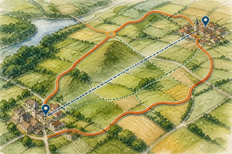
- Check whether routes are separated by traffic, rail or steep ground. If a safe crossing or footbridge links the sides, trace where it leads; if no convenient crossing exists, note that the junction may connect roads on a map but divide movement on foot.
If you can make only one visit, use a local map alongside what you observe and leave questions about timing open. A quiet moment does not establish that a place has no role: activity may follow a school timetable, service hours or local events.
Look for reasons people stop
Routes offer opportunities for contact, but useful destinations give people a reason to pause. Shops and services may serve residents arriving from several directions. A public building can provide a shared destination, while a station or bus stop links local journeys to places farther away. Sometimes several modest destinations together form a centre rather than one prominent building.
Look at entrances and public space. A shopfront facing the junction is easy for passers-by to approach; a service set back behind parking may be convenient for customers but less connected to a walkable meeting point. Benches, a paved square or a broad pavement can make waiting and conversation easier.
Barriers can split an apparent centre. A busy road, railway line, steep slope or awkward crossing may leave nearby streets feeling separate. A safer crossing or footbridge can draw activity towards a different point, so note where people can actually move between routes rather than relying on the map alone.
Why do some crossroads stay quiet?
Does every road junction become a town centre?
No. A junction brings routes together, but people also need destinations, convenient access and reasons to spend time there. Some crossroads serve mainly as passages through the settlement.
How can I tell which route matters locally?
Follow each road to its destinations and note its links to homes, services and transport. The widest or busiest-looking road may carry traffic past local activity rather than support it.
Can a settlement have more than one centre?
Yes. Services may cluster around an older crossroads while newer shops gather near a station or main road. Treat them as separate activity areas and note what each one serves.
What if the centre is away from the main junction?
Look for barriers, later transport links and destinations that draw people elsewhere. Side streets may show how residents connect their routes to the places they use.
Separate what you see from what you infer
Imagine an invented settlement where two roads meet beside a small green. On the first walk, you see the green is quiet, while a nearby stop and row of shops attract people arriving along both roads. You mark the stop and shops as observed activity, then infer that the destinations—not the junction alone—give people a reason to pause. On a later visit, if traffic still passes through while people gather by the shops, that observation supports a simple account: access and useful destinations work together to shape the centre.
In your notes, distinguish direct observations from explanations. You may see a bus stop beside shops; the idea that the stop helps sustain the centre is an inference. A local map can confirm street names and connections, but it cannot show every routine use.
It is not worth assigning a single cause to every building or reconstructing a settlement’s whole history from one walk. Focus on the relationship you can describe clearly: which routes meet, what lies along them, and where access becomes convenient or difficult. That is enough to explain how routes shape settlement and why a crossroads may—or may not—become a centre.