Why Valleys Become Natural Corridors
Why valleys become natural corridors: see how connected low ground links landscapes, shapes settlement and gathers paths, streams and local activity.
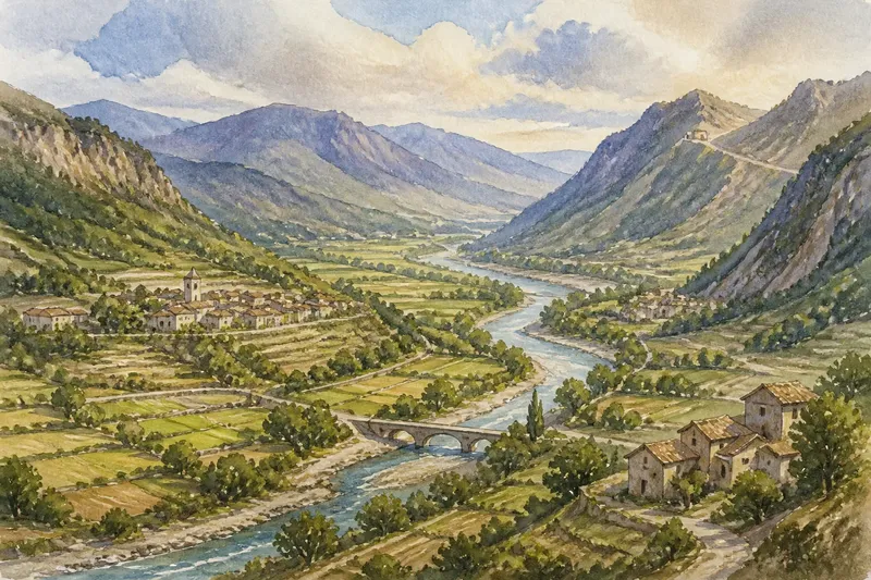
Why do villages, farms and paths often gather along valleys? Valleys become natural corridors because their connected low ground links basins and plains, while streams and sheltered slopes support activity along the way. Their influence is not simply about making a journey easier: valleys can also organise where people live, work and exchange goods.
Connected low ground gives a landscape a spine
A valley is a long depression between higher ground, shaped by rivers, glaciers or other processes. Its floor and lower slopes create a continuous feature that can link places otherwise separated by hills. This is why a valley often reads as a spine on a regional map: tributaries feed into it, and settlements may cluster along its length.
The corridor is broader than the flat ground beside a stream. It can include terraces above the channel, side valleys that open towards neighbouring districts, and passes that connect one drainage basin to another. These parts create a network of linked lowlands, even where the main valley changes direction or narrows.
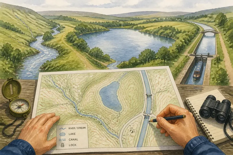
To read that network, follow the valley from its head towards its outlet. Note where tributaries join, where the floor widens, and where a pass offers a connection across higher ground. These features show how the valley relates to the surrounding region, rather than merely tracing one possible path through it.
Water and sheltered ground attract different kinds of use
Rivers help shape valleys and can supply water for households, fields and workshops. Their floodplains may also provide fertile soils, though flooding and wet ground make some locations less suitable for buildings. People have often had to balance access to water and productive land against exposure to floods.
Terraces offer another option. These level steps above a river channel can be drier than the floodplain and may provide space for homes or cultivation. A settlement on a terrace can remain close to the river without occupying its most flood-prone ground. The choice depends on the local slope, soil and water conditions, not on a universal rule.
Imagine a small community beside a river where the flat floodplain is regularly waterlogged, while a broad terrace lies just above it. If households place their homes on the terrace and keep fields on suitable lower ground, the expected result is a settlement close to water and farmland without putting every building on the wettest surface.
Valley junctions connect neighbouring districts
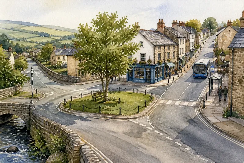
A tributary valley brings its own lower ground to meet the main valley. Such junctions can connect upland farms or settlements with a larger river corridor, creating local centres where routes, goods and services come together. The meeting point may be useful, but it is not automatically a suitable place to build: steep banks, flood exposure or narrow terrain can limit development.
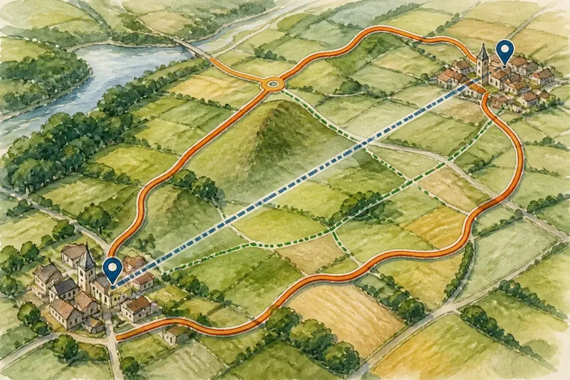
Passes and saddles offer a different kind of connection. They carry movement across a ridge from one valley system to another. A town near a pass may serve travellers and nearby communities, while a settlement farther down-valley may be better placed for farming or river access. Regional connections therefore depend on several landforms working together, not on the main valley alone.
When comparing a junction with a pass, ask what each connects. A tributary junction links places within a drainage network; a pass links valleys across a divide. That distinction helps explain why some settlements face along a river while others look towards an upland crossing.
Valley shape influences where settlements grow
Broad basins can offer room for fields, buildings and local roads. Narrow gorges provide less flat ground and may confine settlement to a terrace or a small opening. A valley’s shape can also affect visibility and exposure: a sheltered site may be protected from some winds, while a steep-sided valley can limit sunlight at certain times of year.
These conditions help explain settlement patterns, but they do not determine them. Access to resources, land ownership, historical decisions and modern infrastructure also matter. A place may grow at a valley entrance because it serves several routes, or remain small despite a generous floor if other opportunities are limited.
For a regional comparison, mark the broad floors, terrace edges, tributary junctions and passes on a map. Then compare those features with the locations of settlements. The pattern may reveal why one cluster formed near a confluence while another sits on a raised bench or beside a route over a ridge.
How do valleys shape regional connections?
Why are many settlements close to rivers?
Rivers can provide water and support farming or other work, while valley floors connect nearby communities. Flood risk, wet ground and bank stability still influence where buildings are placed.
What is the difference between a floodplain and a terrace?
A floodplain lies beside the active river channel and may be inundated. A terrace is a higher, relatively level surface above the channel, which can offer a drier location but still requires local assessment.
How does a tributary junction affect a region?
It links a side valley with the main corridor, bringing neighbouring communities into closer contact. The junction may attract services or trade, although the shape and condition of the land affect how useful it is.
Why might a settlement sit near a pass?
A pass connects valleys across a ridge and can make an upland crossing possible. A nearby settlement may serve local movement, but its growth also depends on water, usable land and other connections.
Read the corridor as a network, not a single line
When examining a map, identify the main valley, its tributaries, broad basins and passes before focusing on individual roads. Then note where settlements sit in relation to floodplains and terraces. This gives a clearer picture of how landforms influence regional organisation without assuming that every valley has the same pattern.
What is not worth the effort is treating every small contour bend as a clue to settlement history. Start with features large enough to connect or separate whole areas, then check local maps and place information for finer details. Why valleys become natural corridors is ultimately a question of linked low ground: it gathers water, usable land and connections, while its branches and openings give each region its own arrangement.